As luck would have it, Karl had picked a beautiful sunny day for his first gig as Trip Leader. Jamie and I hadn’t been up around Tallarook before and were looking forward to exploring somewhere new. We met at Wallan at 9am, had a quick briefing and set off for Flat Rock Camp ground.

Stopping to air down, it was easy to see how the camp ground got it’s name. Lots of areas of huge granite, not boulders but flat to the ground. I’d hate to be pitching a tent here.

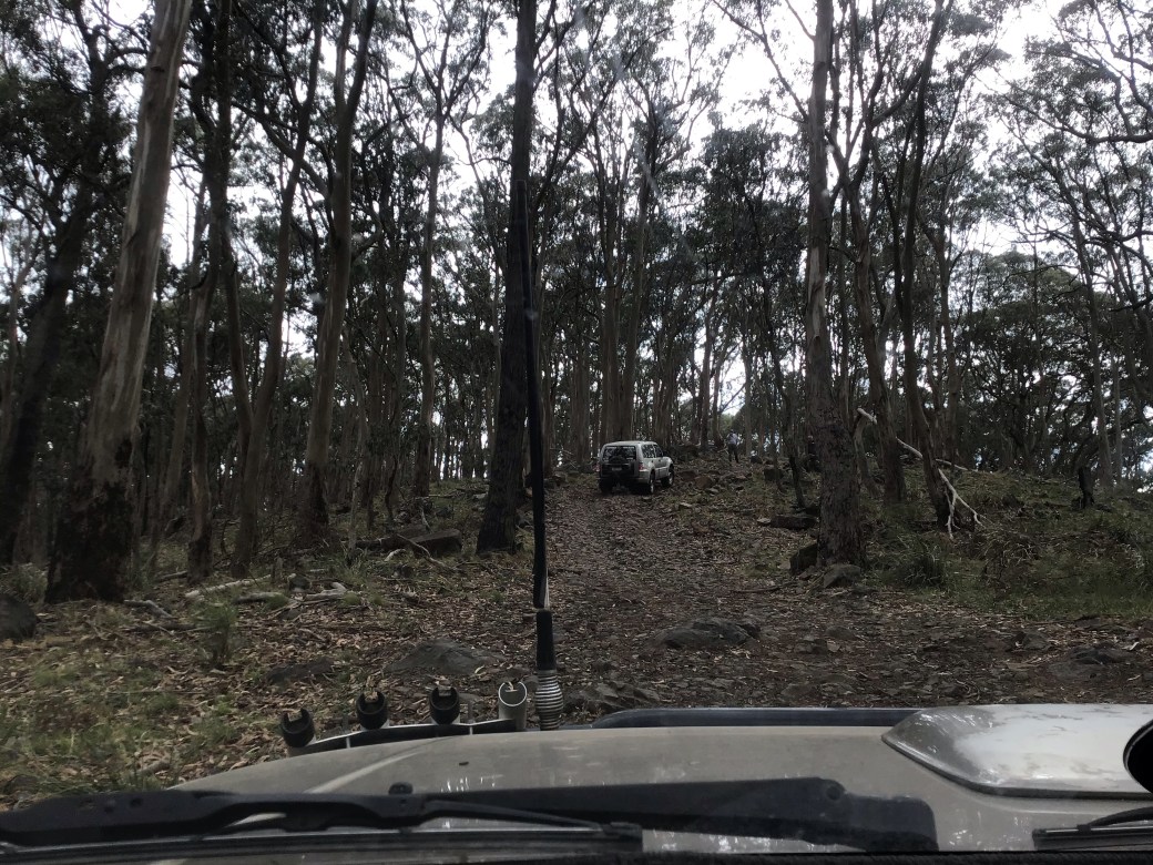
Not far from the camp it was time to get into low range as we headed up Mountain Track. We were off!

Mountain Track was a nice way to start. Quite steep up hill with some gnarly rock steps. Karl kept us all informed over the radio, advising of what lines worked well for him.

Larry found the first mud of the day before continuing up the hill.
Close to the top of Mt Hickey was a rock step that was a little more challenging. Karl did a bit of minor boulder rearrangement, then spotted everyone through.

Mount Hicky is just over 800m high and we paused at the top for the obligatory pic(s). Meantime a couple of other cars came up from Phone Track. Karl had watched some YouTube clips on Phone Track and said it was way worse than Mountain Track. Not one for us today as most of us aren’t keen on vehicle damage. We headed down Hickey Track then turned left on to Cadel Track to Gravel Pit Track.


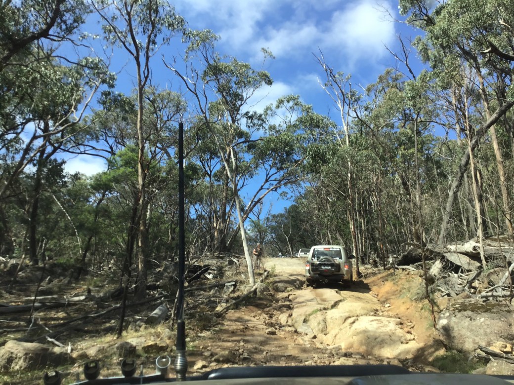
At the end of Gravel Pit Track we once again turned left, this time on to Dam Track which loops back round to Flat Rock. About 3/4 of the way along, Karl pulled up to walk the next section. He came back reporting all good and advised the left hand line, straddling the ruts would be best.
He wasn’t wrong. At the top of the ruts there was a decent size boulder that could have led to significant damage. We continued up over more rocky steps and around the corner.
Once back at Flat Rock we headed off to Freeman’s Camp for an early lunch and pit stop.

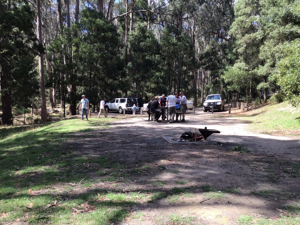
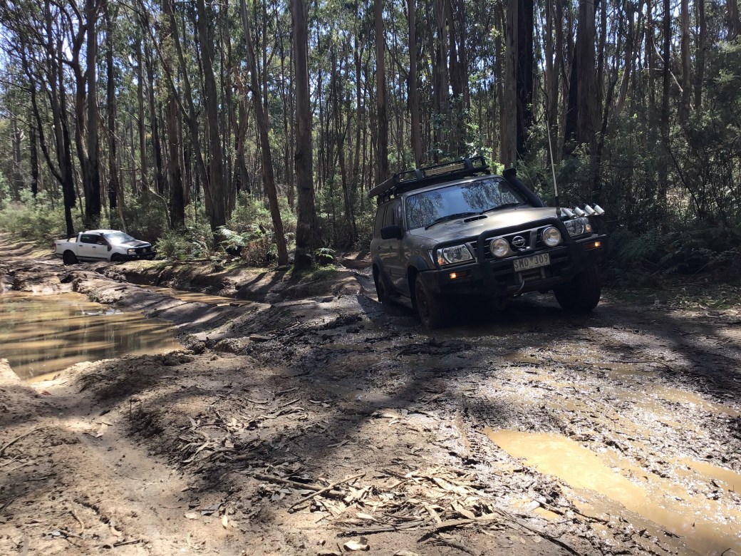
Freeman’s camp was a lovely spot with picnic tables and long drop loos. Over lunch Karl filled us in on the plan for the afternoon and promised plenty of bog holes. I have to admit I was pretty sceptical as so far despite recent rains, the tracks had all been dry and dusty. Karl said he’d been here last in December before the rains though and there were bogs back then.

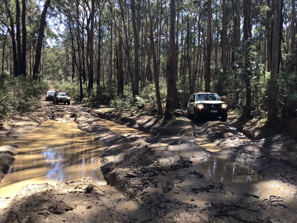
Bills Track certainly didn’t disappoint. Plenty of muddy ruts, most of which had an easy option. There were quite a few where we erred on the side of caution but still plenty of stinky fun.


Once we were off Bills Track we started to make our way north to our next destination – Trawool Reservoir. We headed up tracks such as Falls West Track, Falls Creek Road, Loop No’s 1 & 2. The forest had been consistently bushy so far but now began to thin out for a while, opening up to some clear, flat areas.
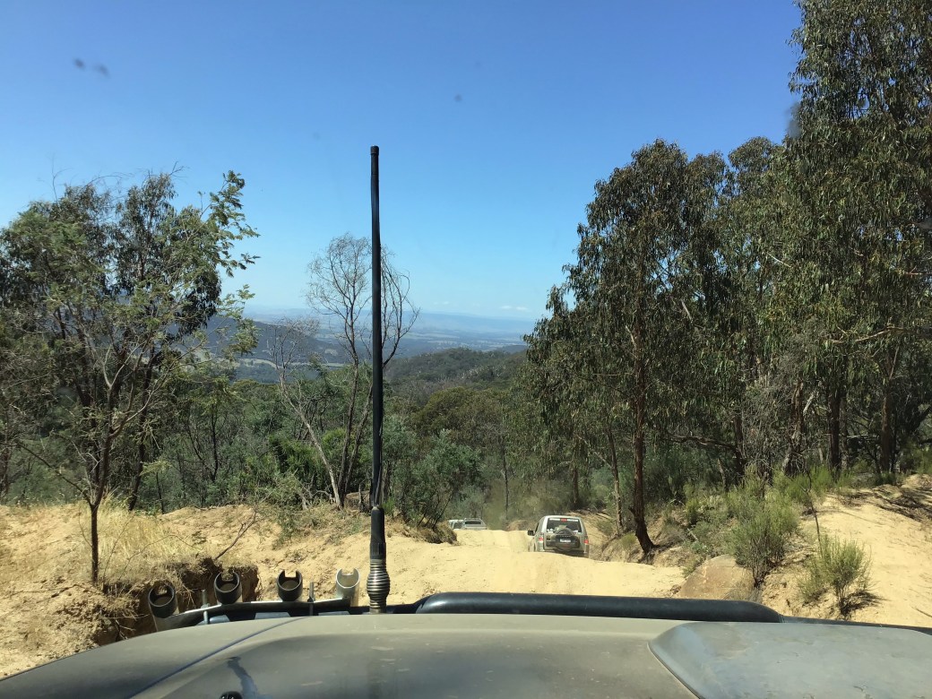
West Falls Road was the final descent to the reservoir and was a bit like a long, dusty rollercoaster with stunning views right over the Goulburn Valley.
The reservoir itself has an old dam wall. A short walk past the wall you find a quarry where they must have cut the rock to make the dam. On my Rooftop’s map it says that it’s bluestone, however the DEPI forest notes say the following “Traawool Reservoir was built in the 1890s to supply water to Seymour and the nearby railway. The 350 foot long, 23 foot high granite ashlar masonry weir is no longer used as a water supply.” Maybe Granite Ashlar Masonry and Bluestone are the same thing – I’m no rock expert.


All these tracks with FALLS in the name made me think that there must be some waterfalls in the area but this was all I could find today, a little below the wall.

Once we were done sightseeing at the res it was time to hit the track again. We started off with a quick little loop below the wall which had some good rock steps and then began the back south.

As we meandered south along multiple tracks (Rockwell’s Track, East Falls Road, Army Road, George’s Road, Jenkins Track to name a few) there was a discussion about chainsaws and Karl lamented that Santa had yet to bring him a chainsaw, just lumps of coal. A bit of indecision on the turn into Bridge Track and his co pilot Yvette said it looked like a chainsaw was unlikely this Christmas either. Santa can be so harsh sometimes.
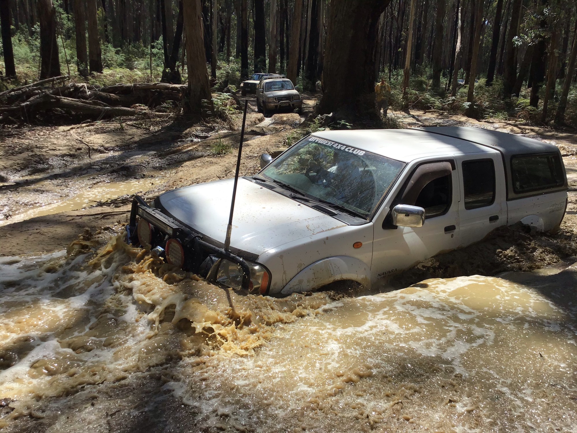
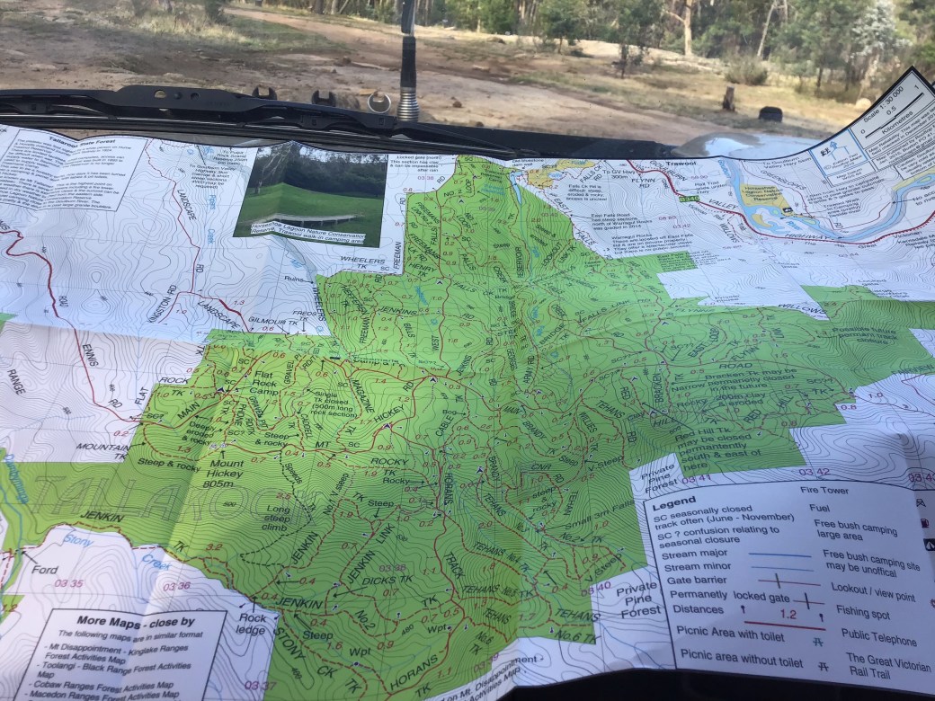
The day was wearing on when we hit Cable Track. My Rooftop’s map was last surveyed in 2014 and had an arrow pointing to Bog. 6 years is a long time for a bog to have been around but sure enough it was there and a good un at that. Everyone got out and had a good look at the options, poking the deep bits with sticks to check the bottom. Once again there were options to one side which most people opted to take.


Brendan however decided to power through the deep side – I’m so glad he did as it made for some great action shots.
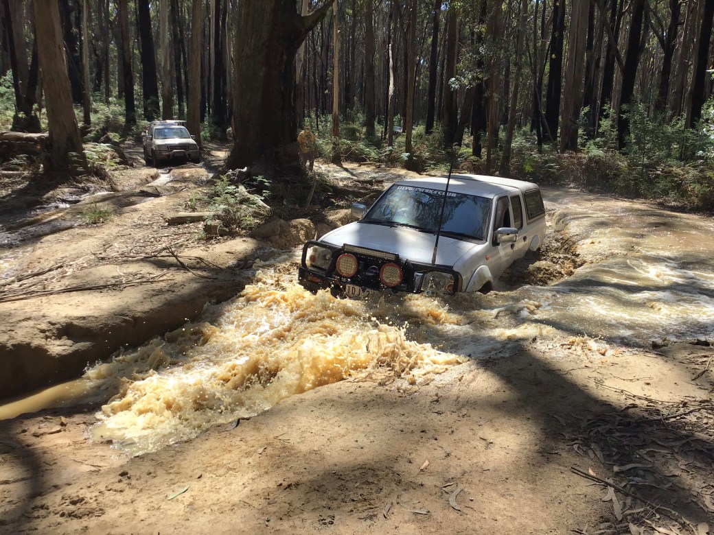

He made it look so easy I convinced Jamie to give it a go in the Patrol. Surely with the higher clearance it would be a piece of cake.


Oh well, some things don’t go to plan and hey, it’s always good to practice some recovery skills on the track. The team worked well together and before long the Patrol had been winched out safely.
 Once the rocovery was done we were on our way again – Karl stopped briefly, contemplating this track up to the right. Straight up with lots of deep ruts and roots – we decided against it.
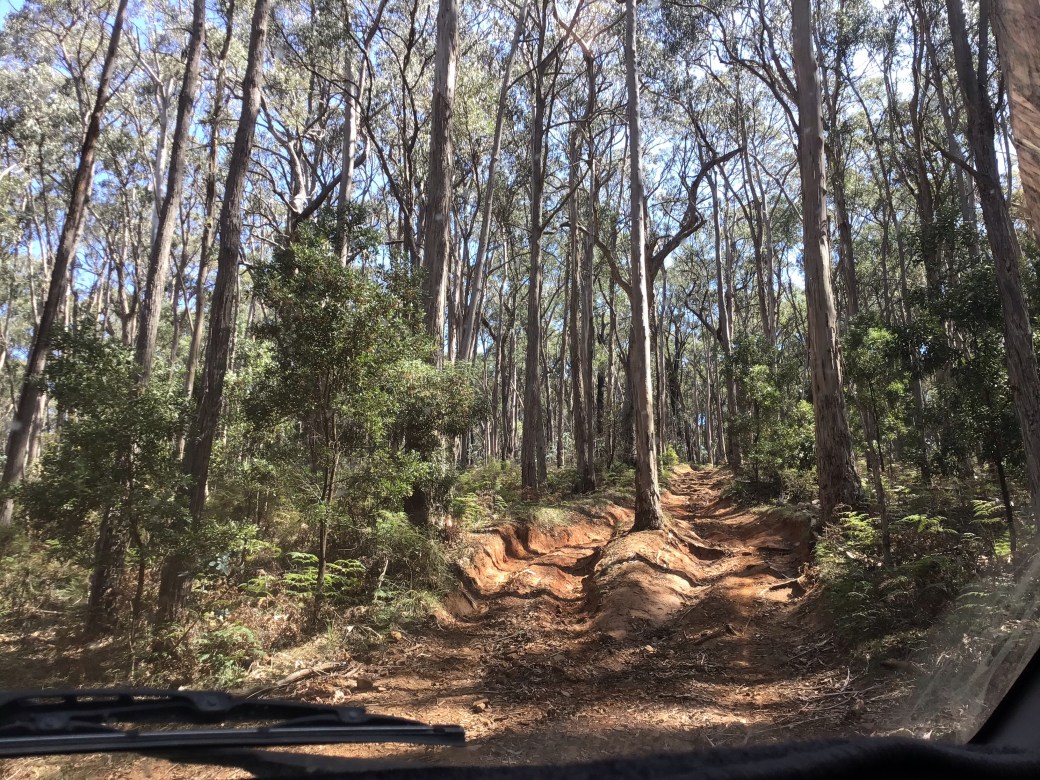

For anyone doing this trip – look out for the turn on to Rocky Track. It looked very much like there was only one option but this soon came to a dead end. Once we got back out to the junction we could see that Rocky Track was in fact to the right – a sharp turn off the track. Australians are famous for their creative road names and it was evident how Rocky Track got it’s name…… rocky indeed.
From the end of Rocky Track we headed up Magazine Track and were soon back at Freeman’s camp. Time to air up and call the trip.

Karl’s first trip as Leader was a big success. It was well researched and planned and Tallarook State Forest has a lot of variety to offer in a small space, from rocky tracks with challenging steps, to deep ruts and bogs – something to satisfy a range of different skill levels and vehicles. Looking at the map I’m sure there are lots more adventures to be had in the area.
Lee Kernighan sung that things were crook Tallarook (click to watch) but on this day I would disagree – things were beaut!
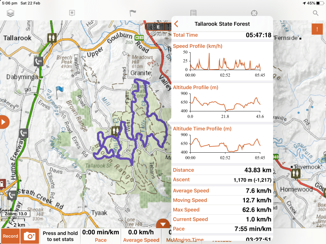
Track route & stats from the Hema are below.